


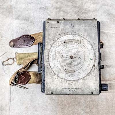
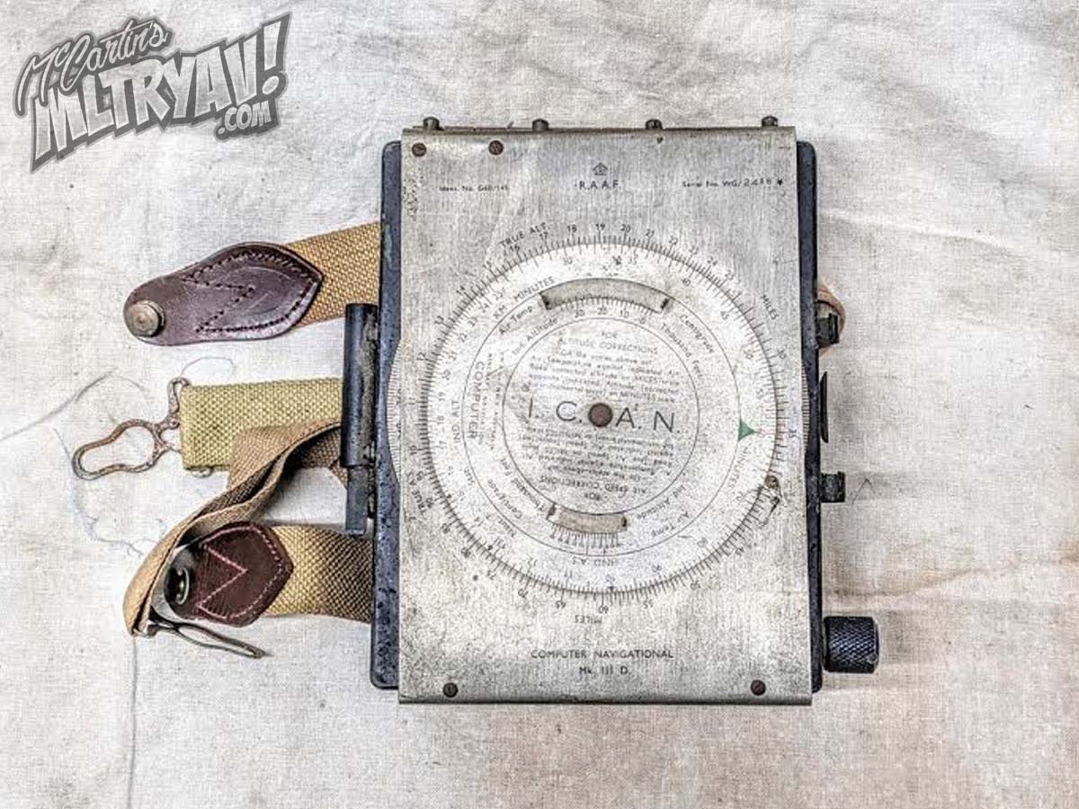
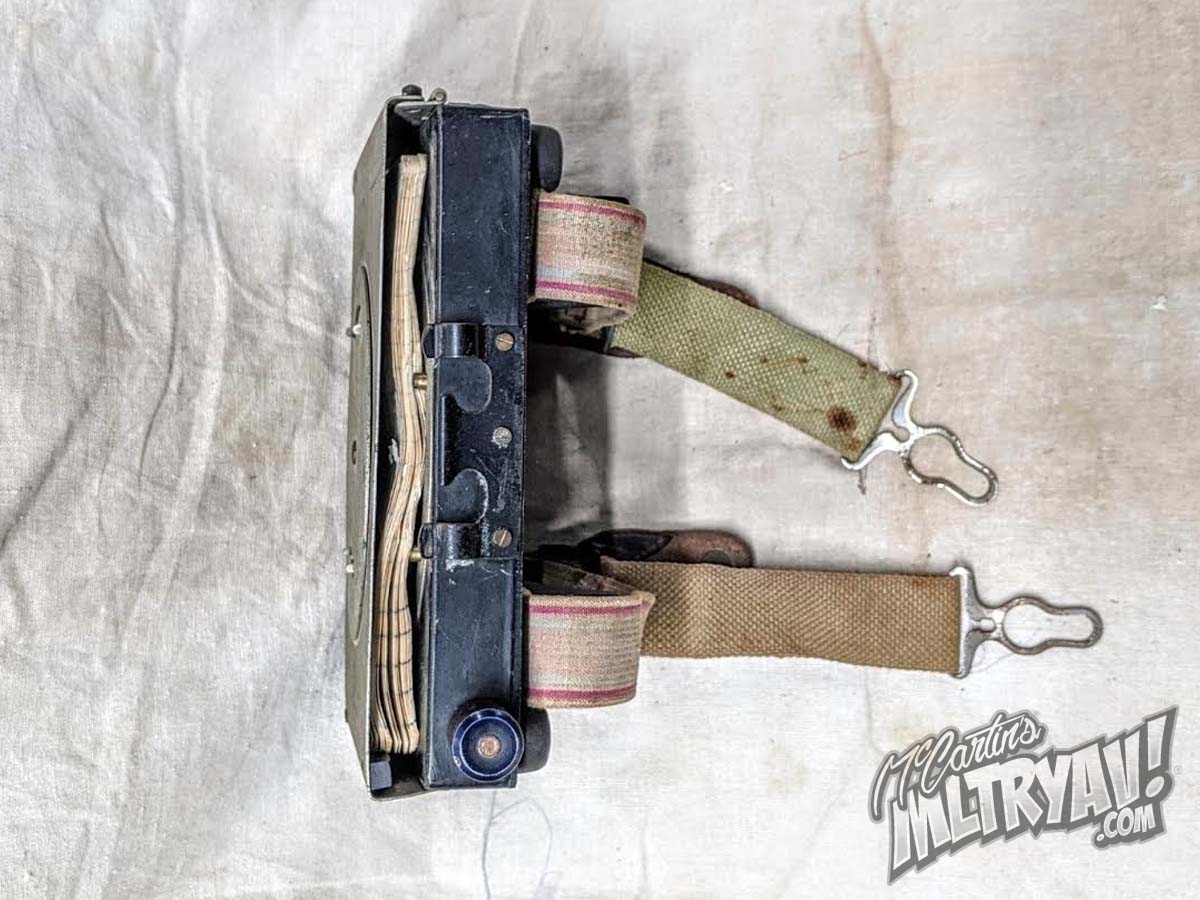
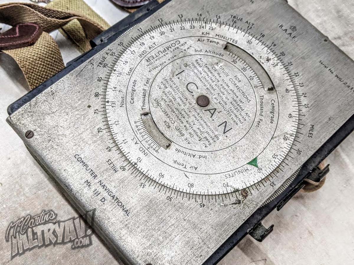
This is my example of the RAAF Mk. III D. Navigational Computer produced by Air Ministry. This model WWII navigational computer was used by the RAF, RAAF and the RCAF. The computer used to estimate true course by allowing for aircraft speed, drift and altitude. It has a rotating central dial and is calibrated to allow for calculations in nautical or statute miles, height in feet, and temperature in centigrade. The circular disk is the wind direction computer – First you line up the wind direction to “true” index with the compass ring, then mark the wind speed. To do this you would usually set the dot in the center on 100 on the back graph, making a dot at the proper number above 100, and an arrow straight back to the centre dot. You would then turn the compass ring to your true course heading, and then move the back graph until the wind dot was on one of the calibrated lines for your indicated airspeed; your ground speed will be under the centre dot. Then add or subtract the number left or right of centre to get your corrected heading, (WCA – Wind Corrected Angle for your true heading). Then put in your e/w variation, to get the magnetic heading, adjust for compass deviation, and then you would have your course heading.

*All items displayed throughout this site have been attempted to be described as accurately as possible by myself with research done via various information sources available. If you happen to feel my information is inaccurate and could be amended I would love to hear from you at mccartinsmltryav@gmail.com